

| Greek name: | Όρμος Αρμένη / Órmos Arménis | |
| Coordinates: | 36 ° 27’37.52 “N, 25 ° 22’51.33” E | |
| Our rating: | Worth seeing |
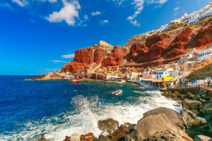
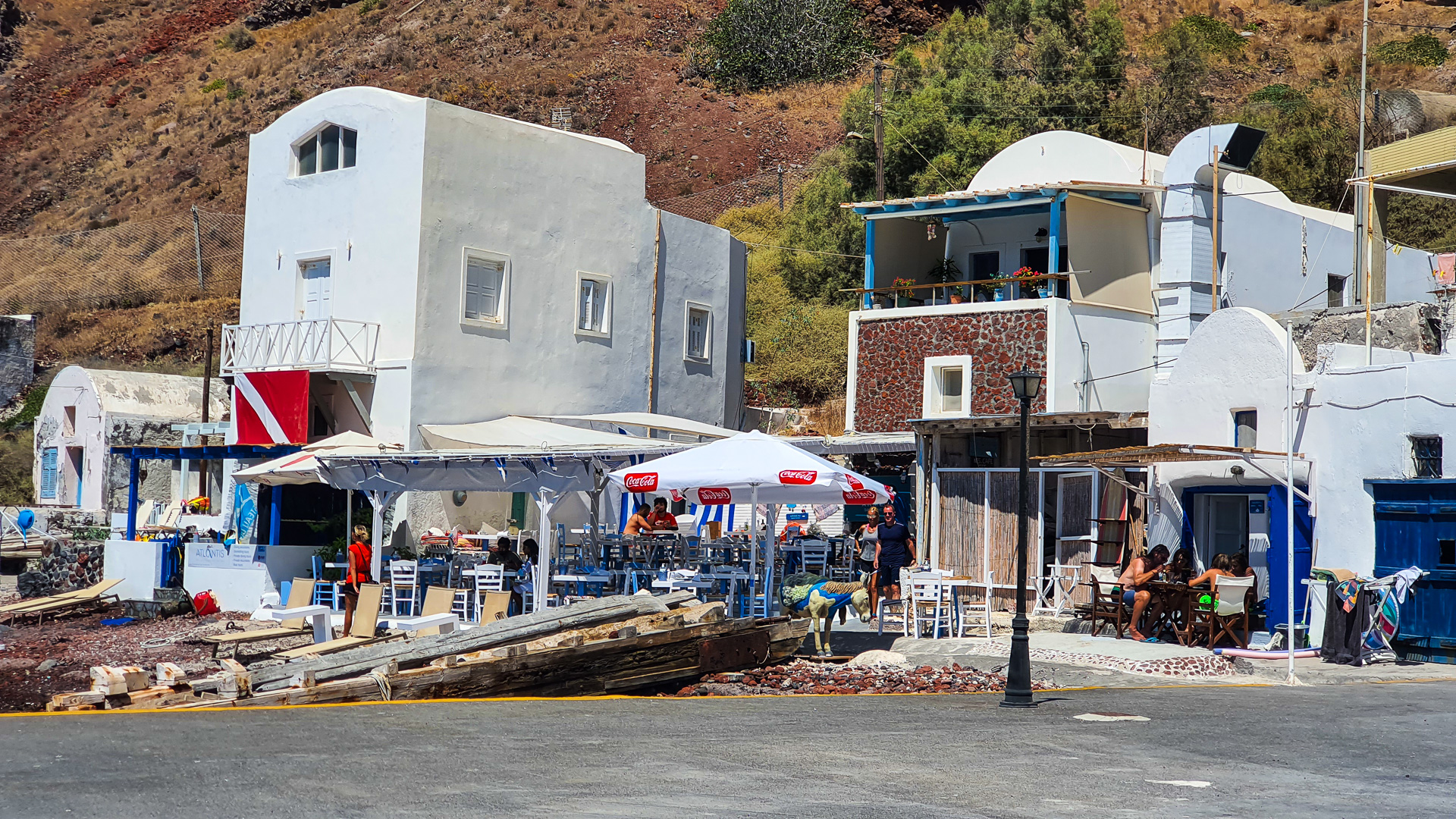
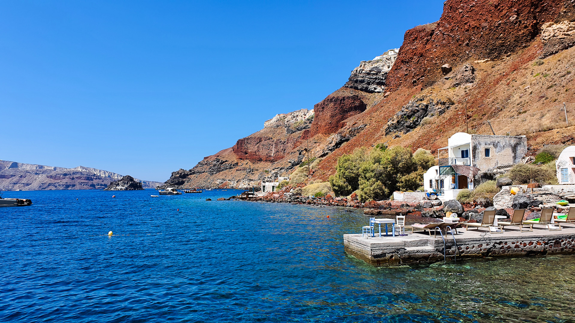
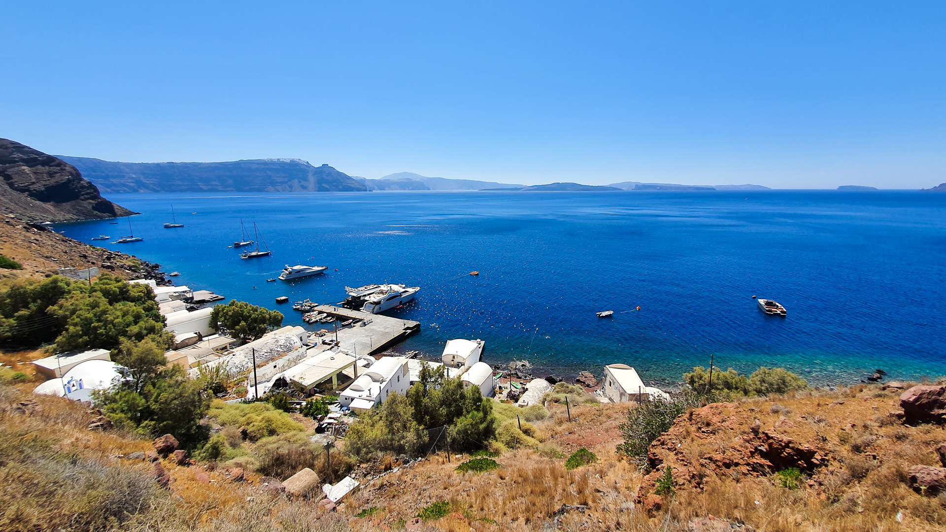
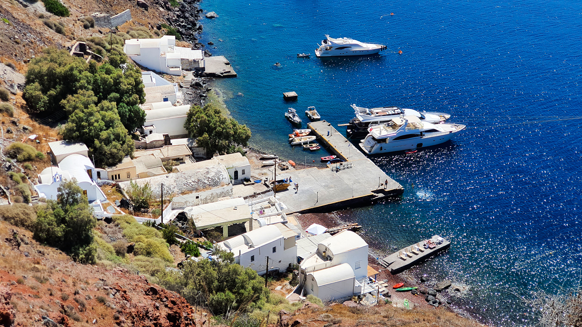
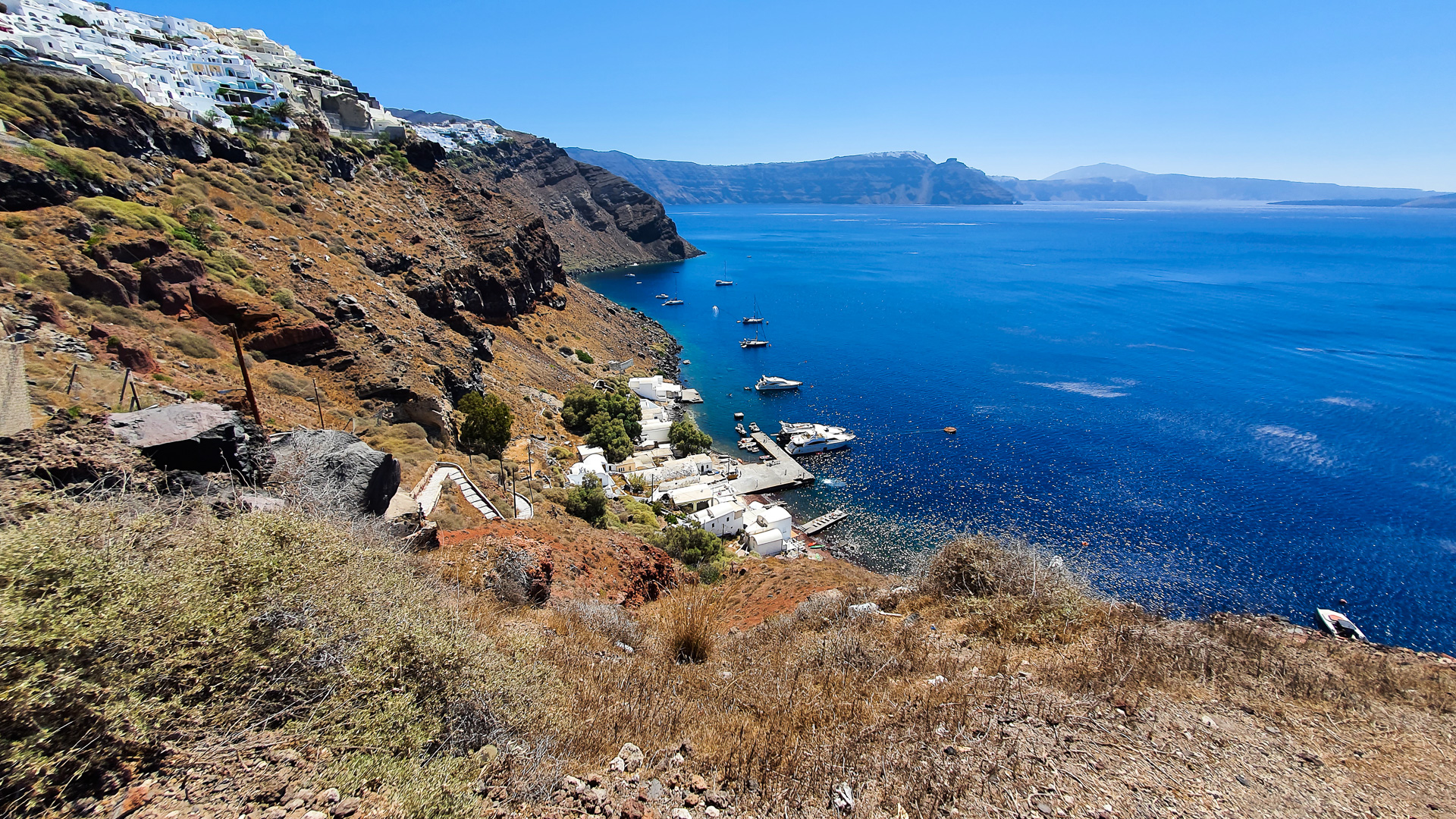
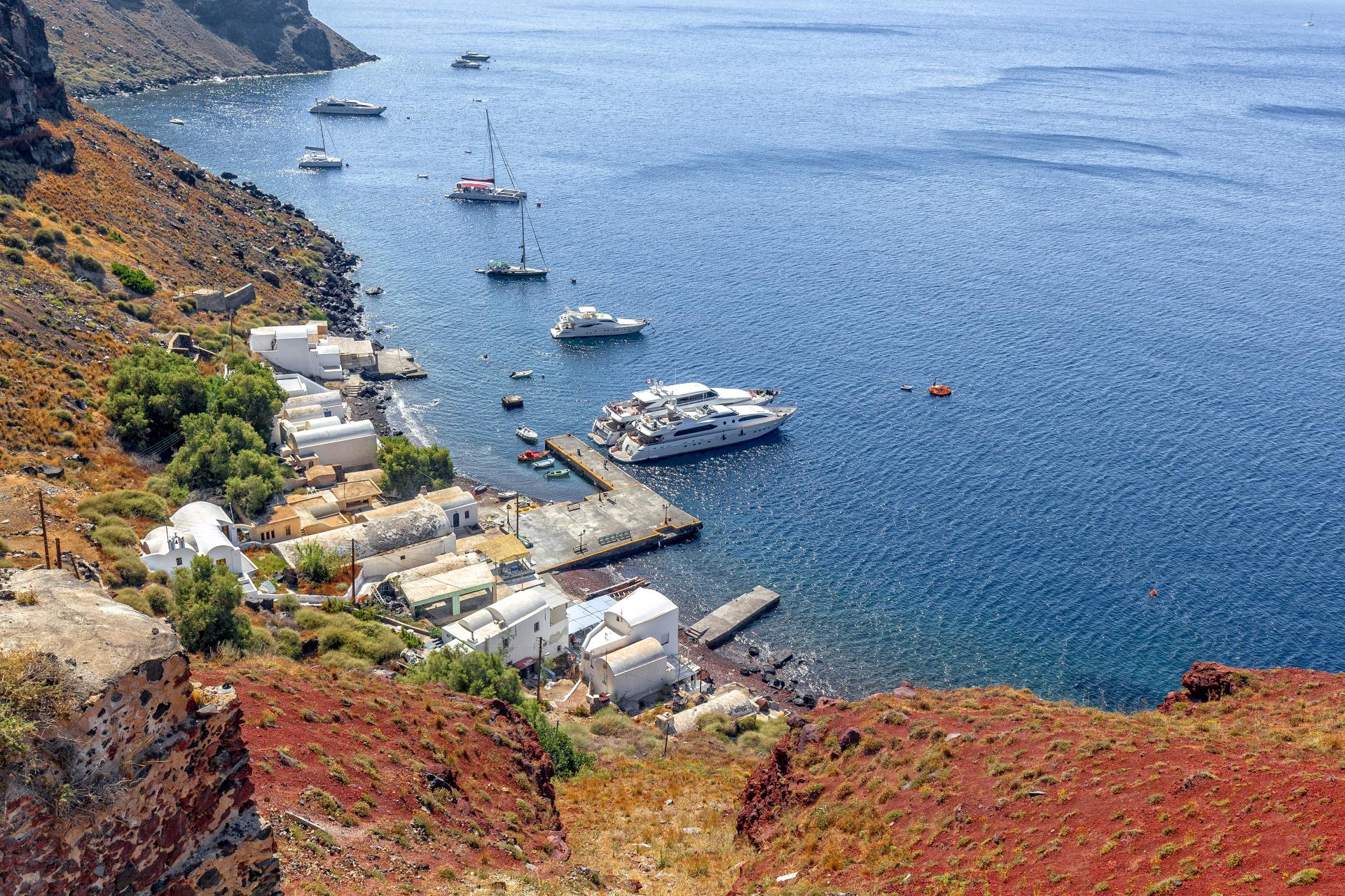
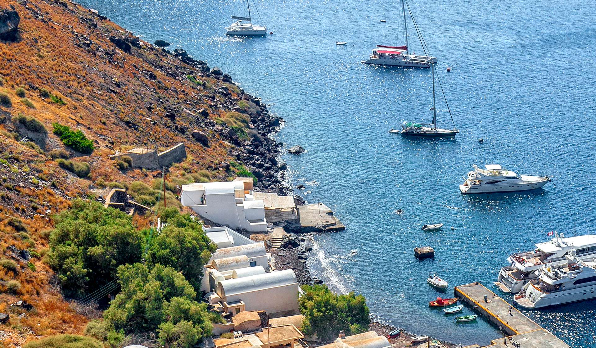
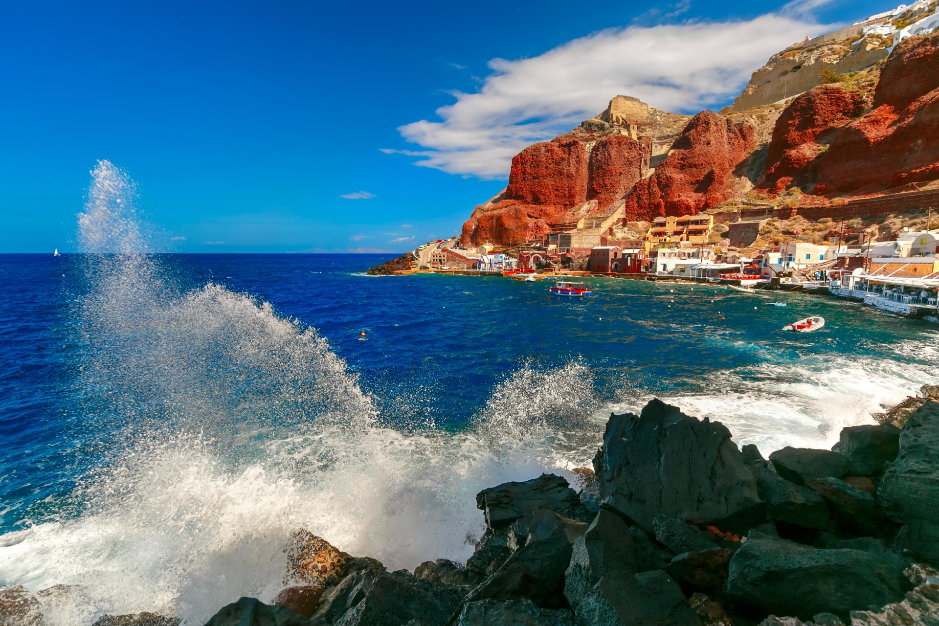
Armeni is a port below Oia, on the Caldera side. In the glory days of Oia, Armeni was her main port. Large ships moored at some distance from the shore, and sailors reached it by small boats, so-called “Lantzes” (as it is currently the case with large cruise ships in the old port of Fira.) In the port of Armeni there were also a shipyard and warehouses.
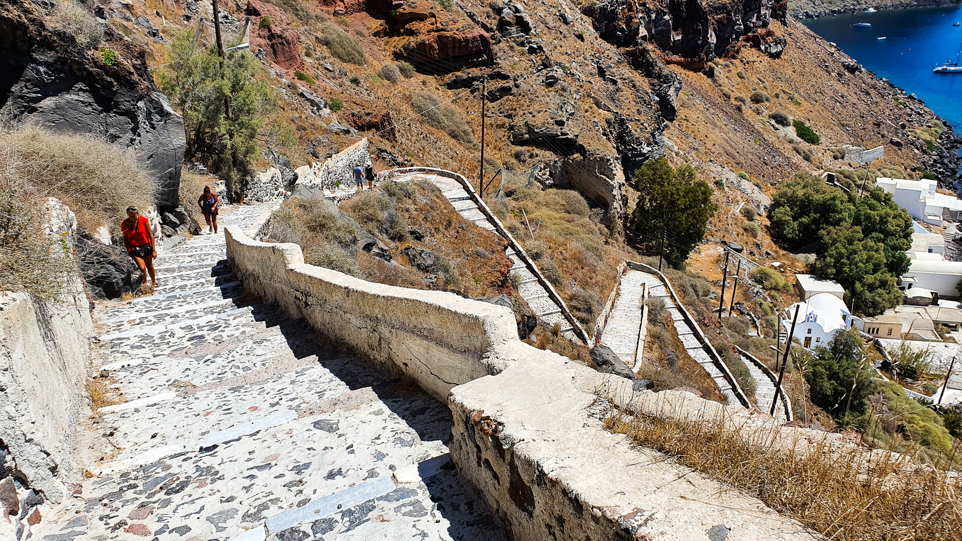
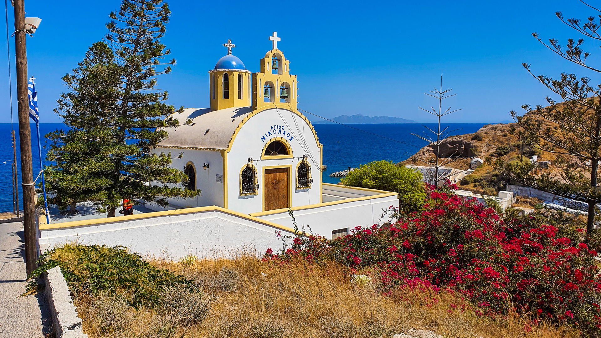
Access to the port is possible via a stone staircase that starts at the edge of the caldera at the height of the primary school in Oia. Once, with these stairs, on mules, goods were transported from and to the port. At the bottom end of the stairs, at the entrance to the port, there is a small church.
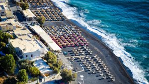
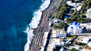
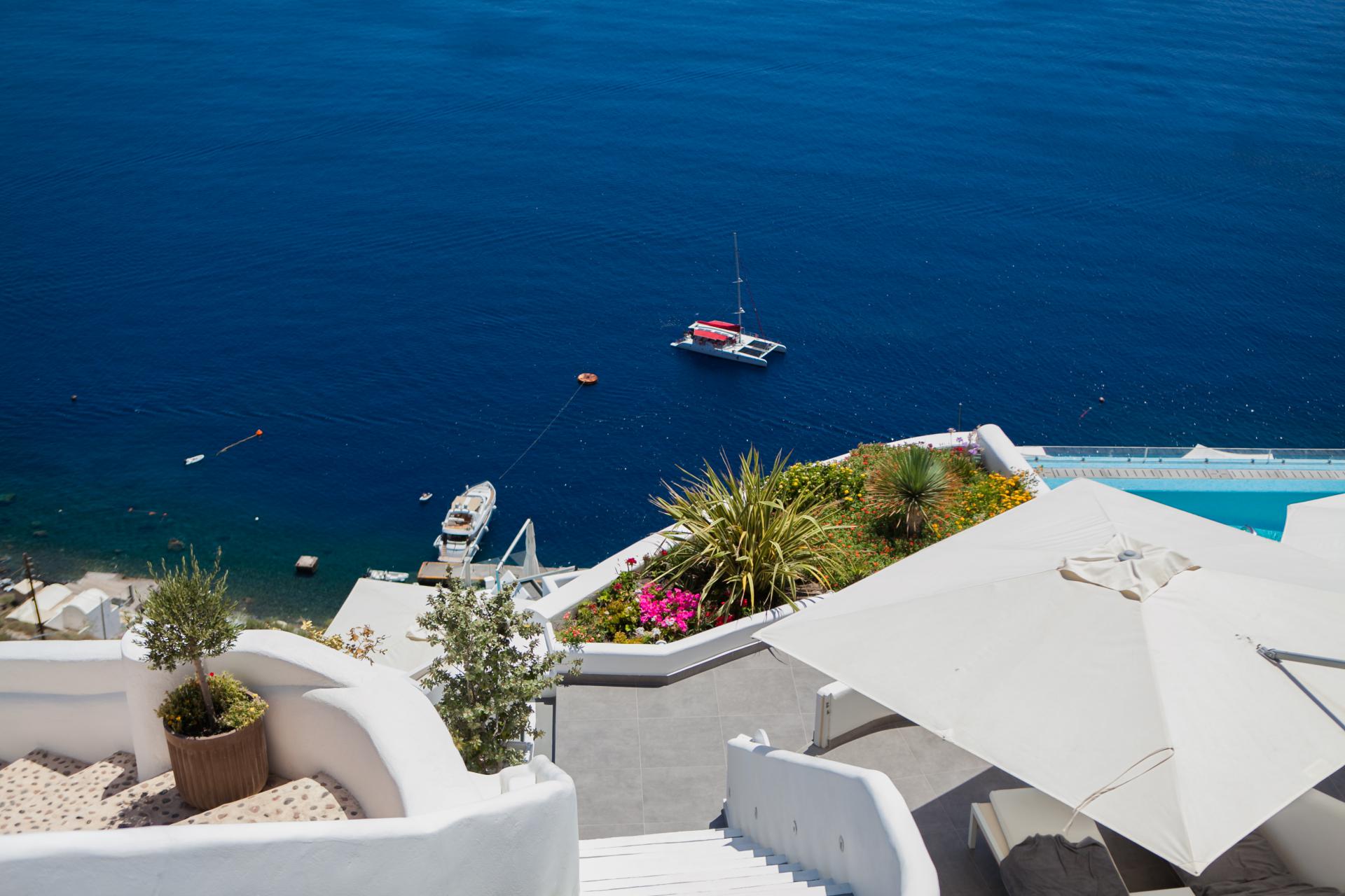
Currently, the port of Armeni consists of a few residential buildings, a tavern and a concrete pier, from which private yachts are moored. Due to the difficult access to beaches from Oia, some tourists descend to the port to swim in the sea.
More information about the beach – Armeni Beach
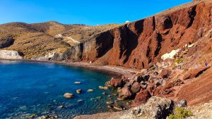
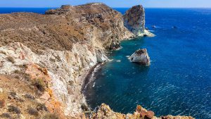
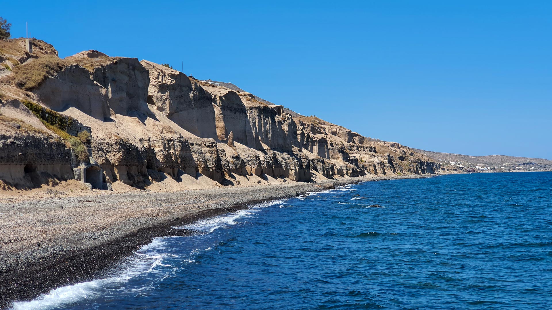
West of Armeni Bay is a second, small, undeveloped bay – Armenaki.
Location of Armeni Beach on the map
View of Armeni Beach on Street View