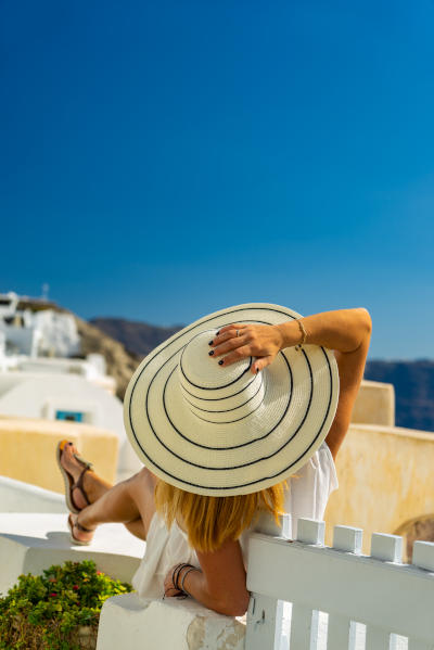

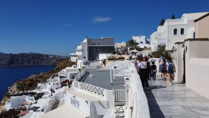
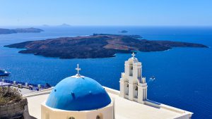
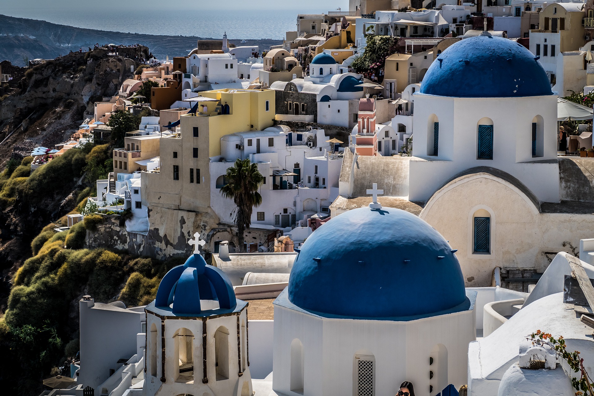
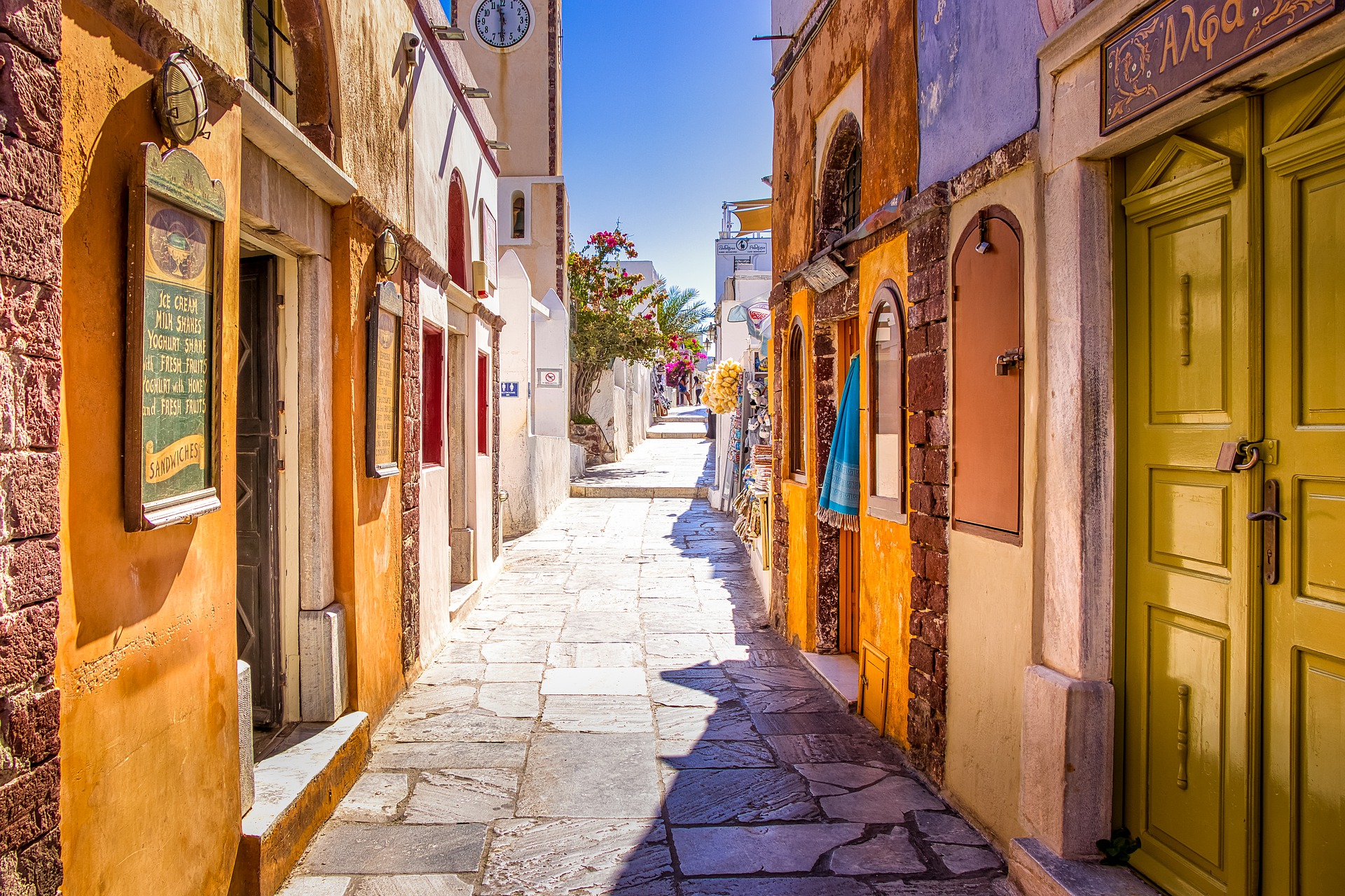
The caldera of Santorini is currently one of the most famous and popular tourist destinations in Greece. It lies in the Aegean Sea, about 120 km north of Crete. It is here on the rocky slopes that the most luxurious hotels are built, architecturally referring to the Cycladic tradition. Despite high prices, tourists very willingly come to Santorini, lured by the extraordinary views, picturesque sunsets and volcanic beaches.
Santorini caldera – a few interesting facts to start with…
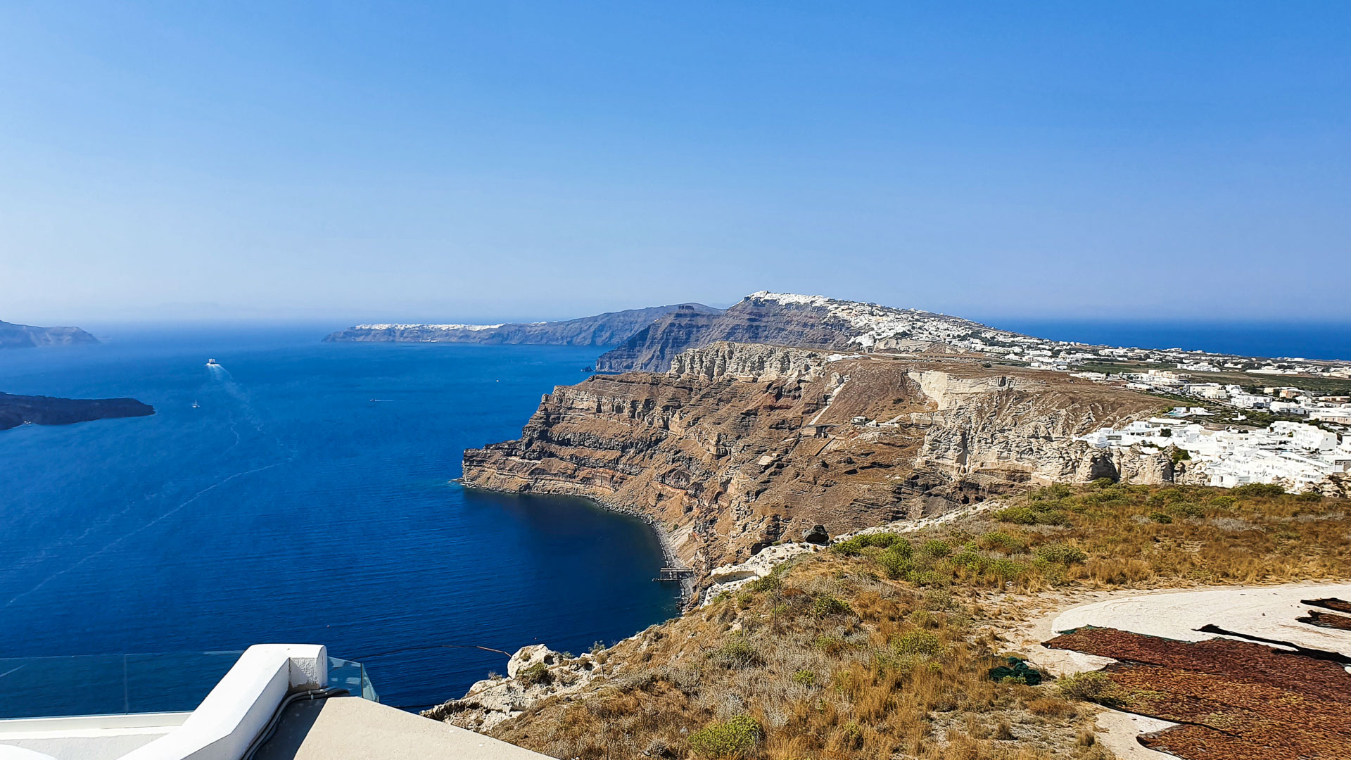
The caldera of Santorini is mainly known for tourist destinations such as Fira (the capital of the island), Oia and Imerovigli. In the latter village there is the highest point of the caldera – at an altitude of 330 m above sea level.
The very word “caldera” comes from Spanish and literally translates to “cauldron”.
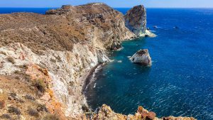
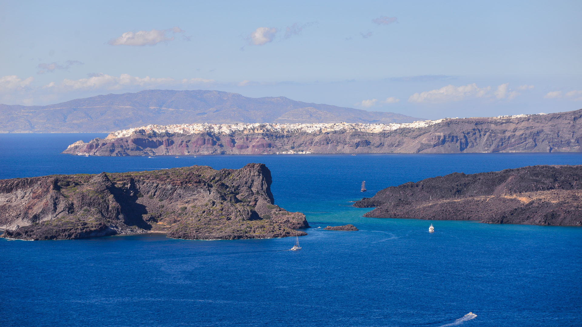
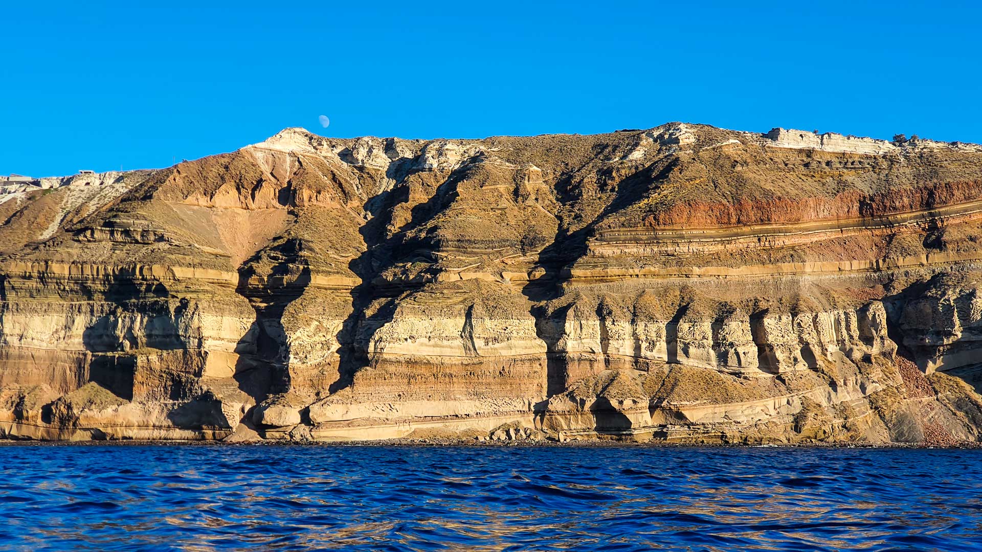
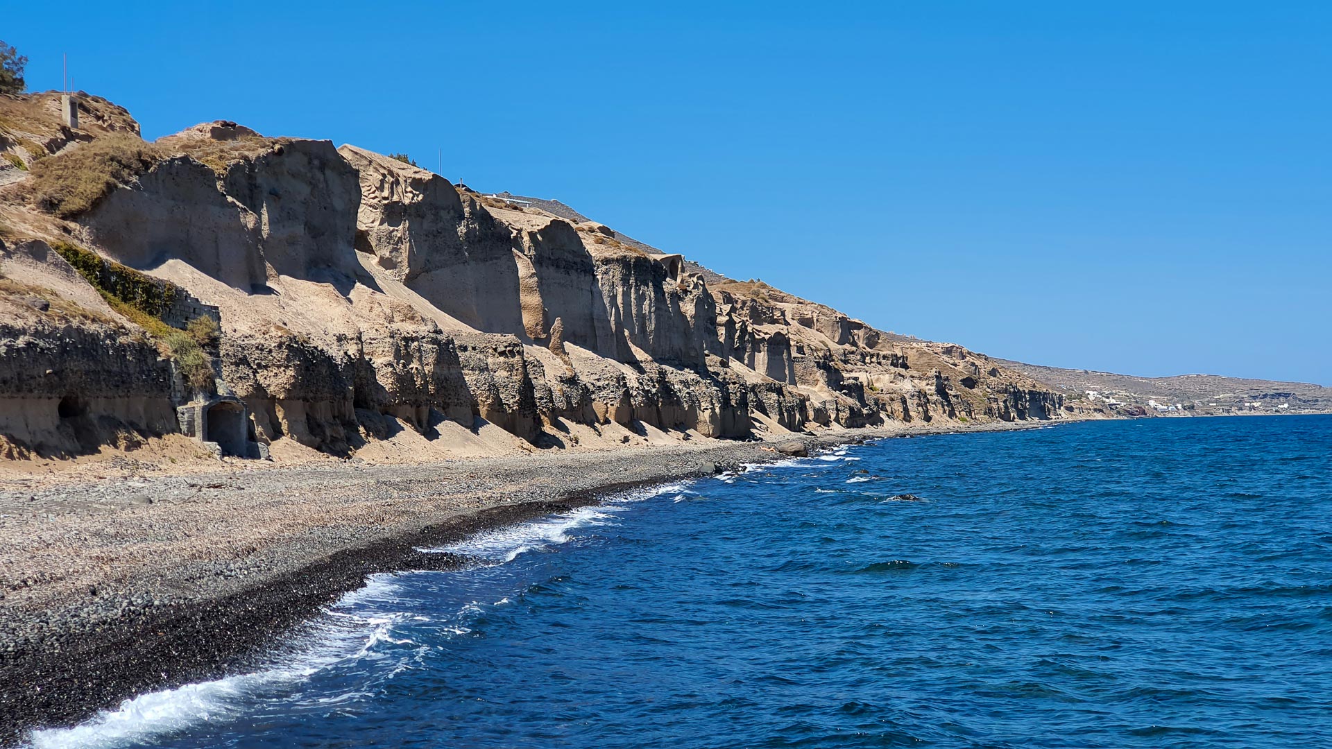
Over the years, the natural landscape of the island has changed considerably, mainly due to tourist development and related construction activities. One of the least affected places by civilisation on Santorini is Therasia, especially Cape Tripiti. It is from here that you can admire one of the most unusual formations of volcanic rocks, looking like frozen lava.
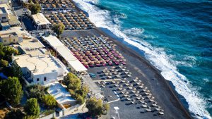
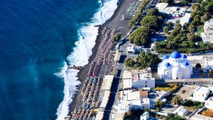
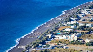
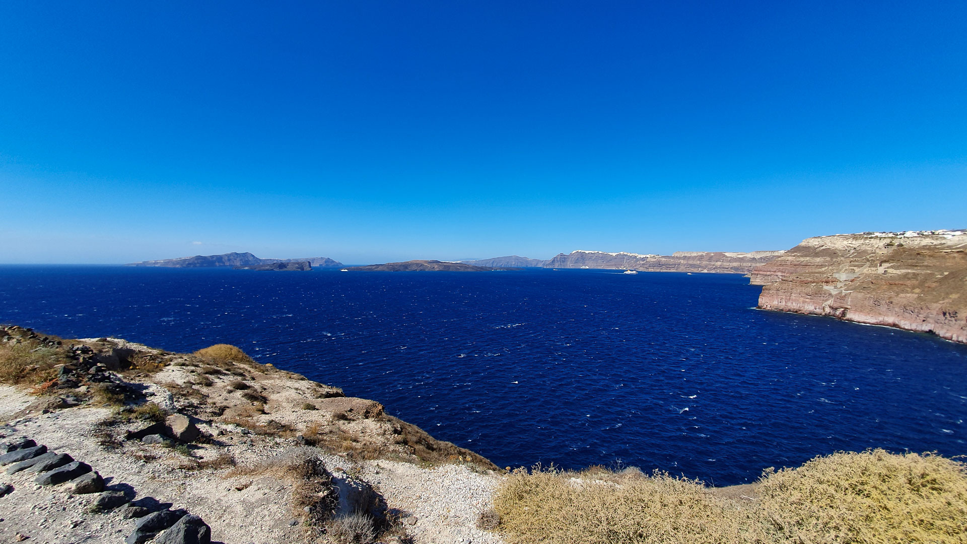
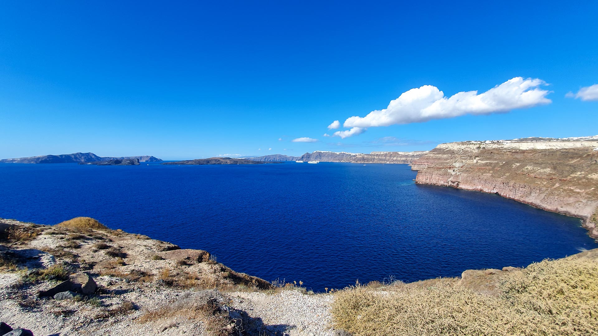
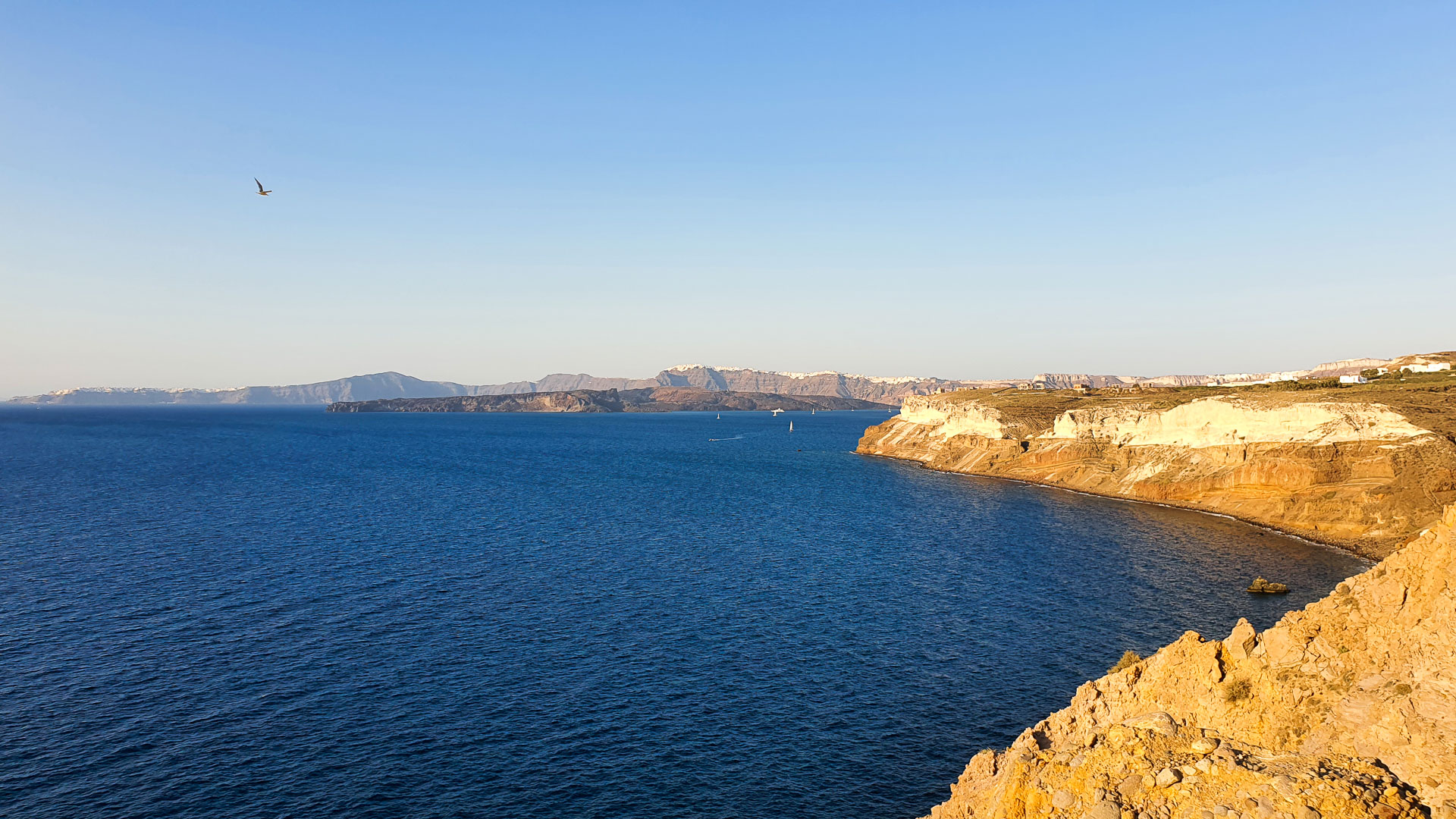
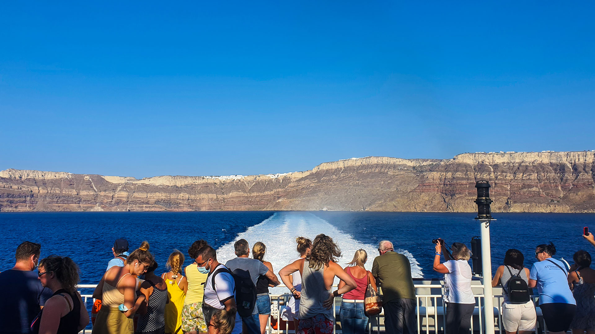
When visiting the Greek island of Santorini, it is absolutely necessary to find time not only for sightseeing, but also, and perhaps above all, for relaxation. Ideally suited for this are the local beaches. Although those that are located on the side of the caldera are more difficult to access, the effort will reward us with a stunning view of the Santorini archipelago and one of the biggest local attractions – the volcano.
Ports of Santorini, facing the caldera:
- Athinios – Ferry Port, is where ferries and merchant ships dock – currently the main port of Santorini
- Gialos – the old port of Fira (the island’s capital), which until a few decades ago was its main commercial port. Today, under the influence of the island’s development, it has become a tourist port. The cable car to Fira starts here – an ideal solution for those who do not feel ready for a 20-minute walk up the stairs after arriving on the island.
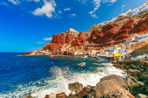
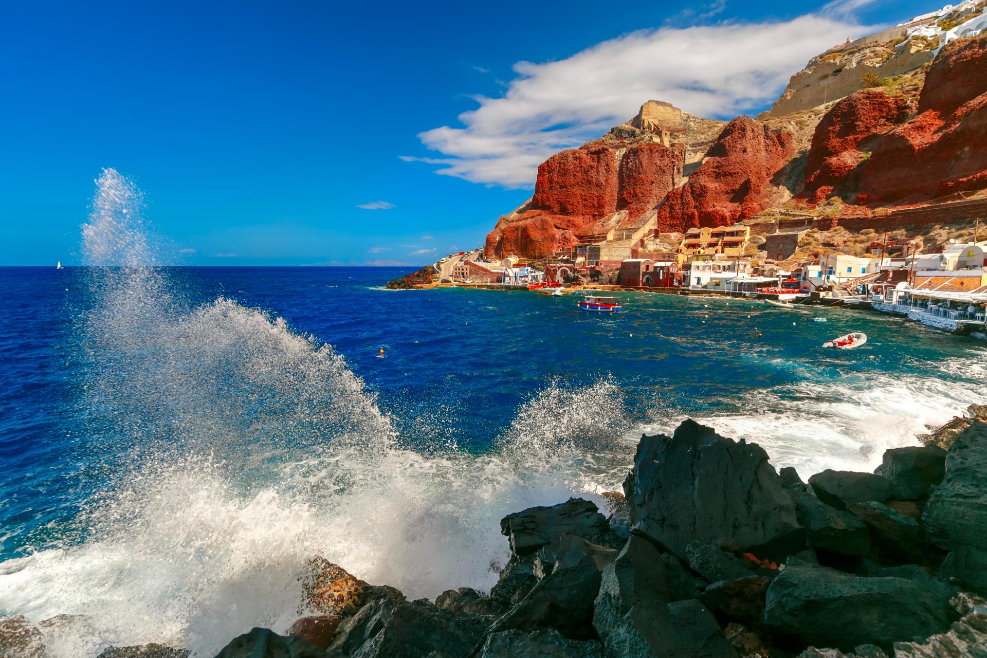
- Ammoudi – It is located on the coast near Oia, 13 km from Fira. It is from here that you can take a boat to the island of Thirasia. This small, charming harbour is considered one of the most picturesque places on the island, thanks to its architecture and wonderful views. As well as a harbour with fishing boats, there is also a seafront with traditional fish taverns. Here you will find crystal clear water and a magnificent view of the settlement of Oia, located at the very top of the red cliffs. Not far from this place we can find some interesting diving sites.
- Armeni – the old port of Oia, now used mainly for tourism.
The volcanic nature of the Cycladic islands, including Santorini
The Cycladic islands were created by tectonic movements and are situated on a small Aegean microplate. Hence the conical shape of most of the islands, protruding from the sea almost in the shape of undersea mountains. The exception is a few islands of volcanic origin. These include the famous Santorini, the volcanic islands of Methana, Milos and the island of Nisyros with a large, young crater Stefanos.
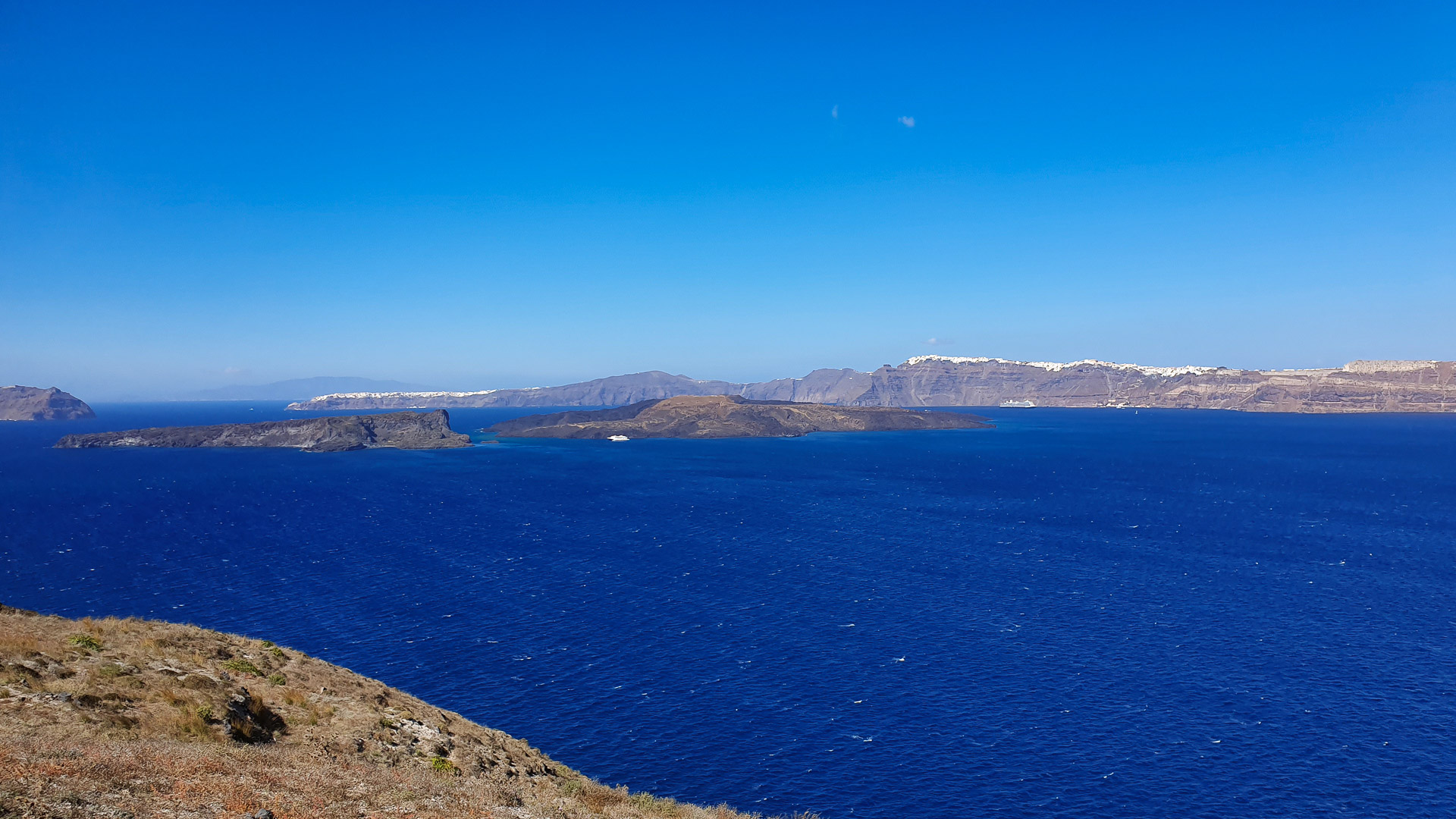
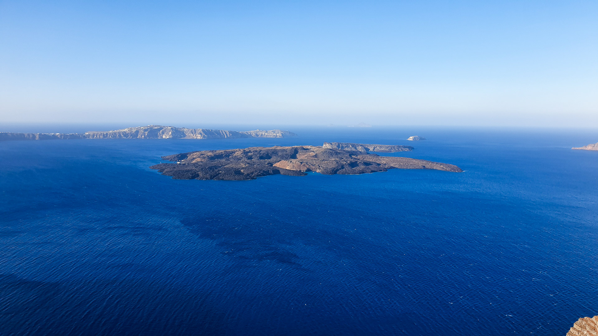
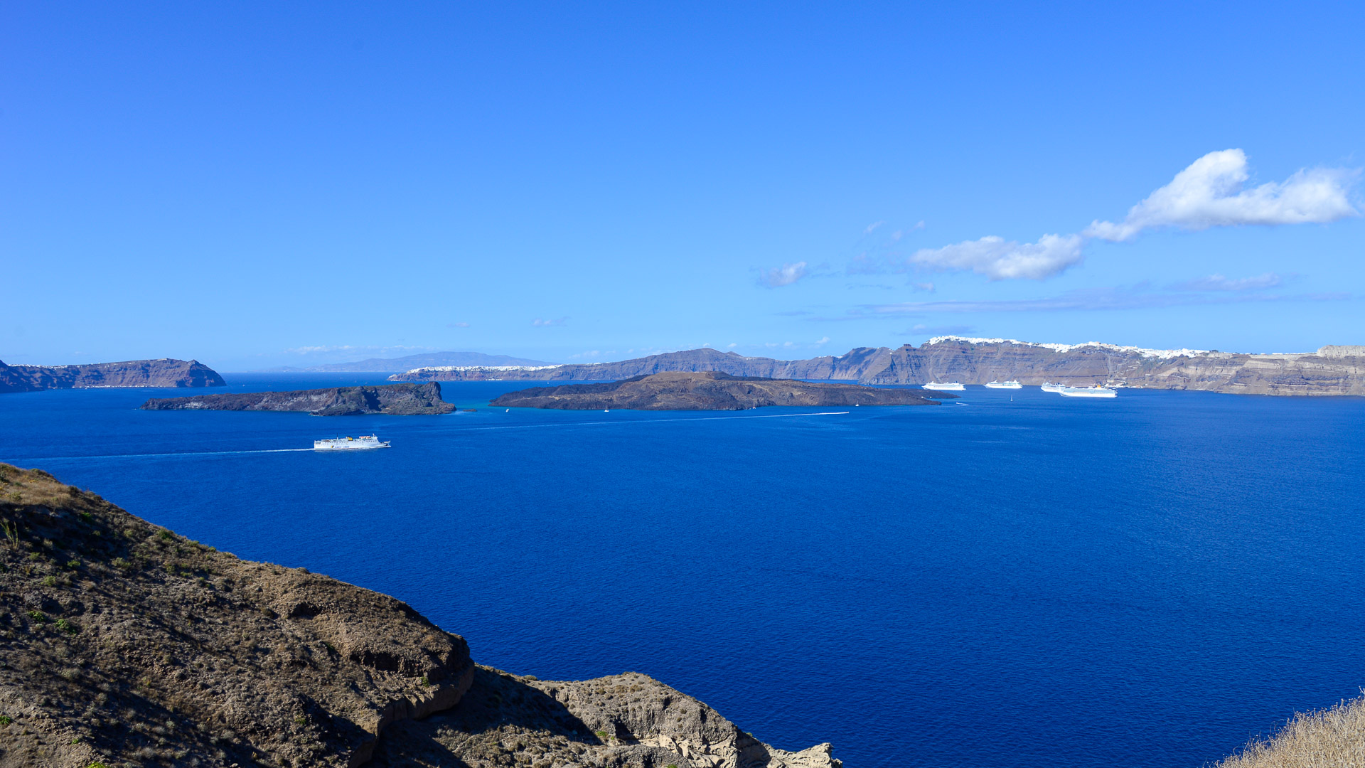
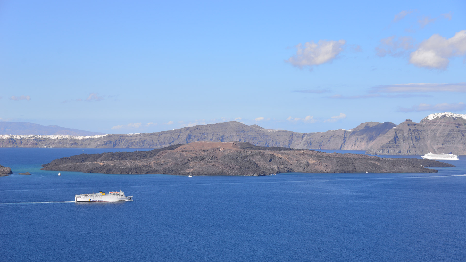
The caldera of Santorini is an extremely interesting example of a geological and natural formation. The group of islands, officially called Thera, consists of the main island of Thera (approx. 76 km2 and approx. 7,500 thousand inhabitants), Therasia (9.3 km2 and approx. 250 inhabitants), and small, uninhabited: Aspronisi (0.1 km2). In the middle of the lagoon there are Palea Kameni (0.5 km2) and Nea Kameni (3.4 km2), uninhabited, built of frozen volcanic rocks. The main island of Thera surrounds the center of the former volcanic activity in a semi-circle, creating a caldera.
The history of the creation of the Caldera of Santorini
The Santorini archipelago was formed over millions of years and during that time it changed its shape many times. A caldera resembling the present one was formed only about 3600 years ago during the great Minoan eruption.
Let us take a look at the different phases of the archipelago’s development and the changes occurring to the Caldera:
- About 5 million years ago – at the place of the present Aegean Sea there was a land called Aigiida (Europe and Africa were connected then). Then the land began to sink slowly until only the peaks protruding from the sea remained. In the area of present-day Santorini, only the southern part of the island (the area bounded by the present-day towns of Pyrgos, Kamari, Perissa, Vlychada and Megalochori) was not submerged. The island at that time was built of limestone and slate.
- About 2.5 million years ago – volcanic activity began. The first volcanoes erupted – in the southwest of the island (Christiana Volcano) and in the area of the present-day towns of Oia and Akrotiri. The volcanoes erupted, leaving an ever increasing layer of material growing on the island.
- About 200 000 years ago – Santorini was an unshaped island with a large depression (caldera) in the middle, flooded not by water but by alternately boiling and solidifying lava.
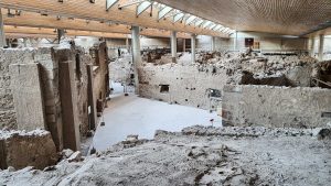
- Around 2000 BC. – Santorini was a round island with a large, water-flooded caldera in the centre. Its name at that time was Strogili (Greek for ’round’). At that time Minoan culture flourished on the island and the city of Akrotiri was at the height of its development and prosperity.
- Around 1650 BC. – there was a great volcanic eruption (Minoan eruption) which submerged part of the island and covered the remaining land with a thick layer of ash.
- 197 BC – creation of the volcanic island of Hiera in the middle of the Caldera (probably the precursor of today’s Palea Kameni). Documented by many historians including Strabon, Plutarch, Pausanias, Justin, Eusebius of Cesari, Ammianus Marcellinus.
- 1573 A.D. – formation of the volcanic island of Mikri Kameni.
- The years 1866-1870 AD. – eruption that merged the islets of Mikri Kameni and Nea kameni into one island.
- 1950 AD – most recent eruption recorded in Caldera.
Santorini’s caldera and its unique geographical environment
Actually today’s Santorini is only a memory of the closed circle-like first island Stroggili from the times of the flourishing Minoan culture. About 1600 years ago the so-called “Minoan eruption” caused the breaking of the coastline of the circle and the almost complete destruction of the then human settlements.
Was this the end of the lost Atlantis? This is still an unexplained mystery. Nevertheless, this catastrophe initiated an extraordinary development of the islands in a natural and geographical sense.
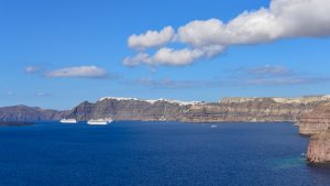
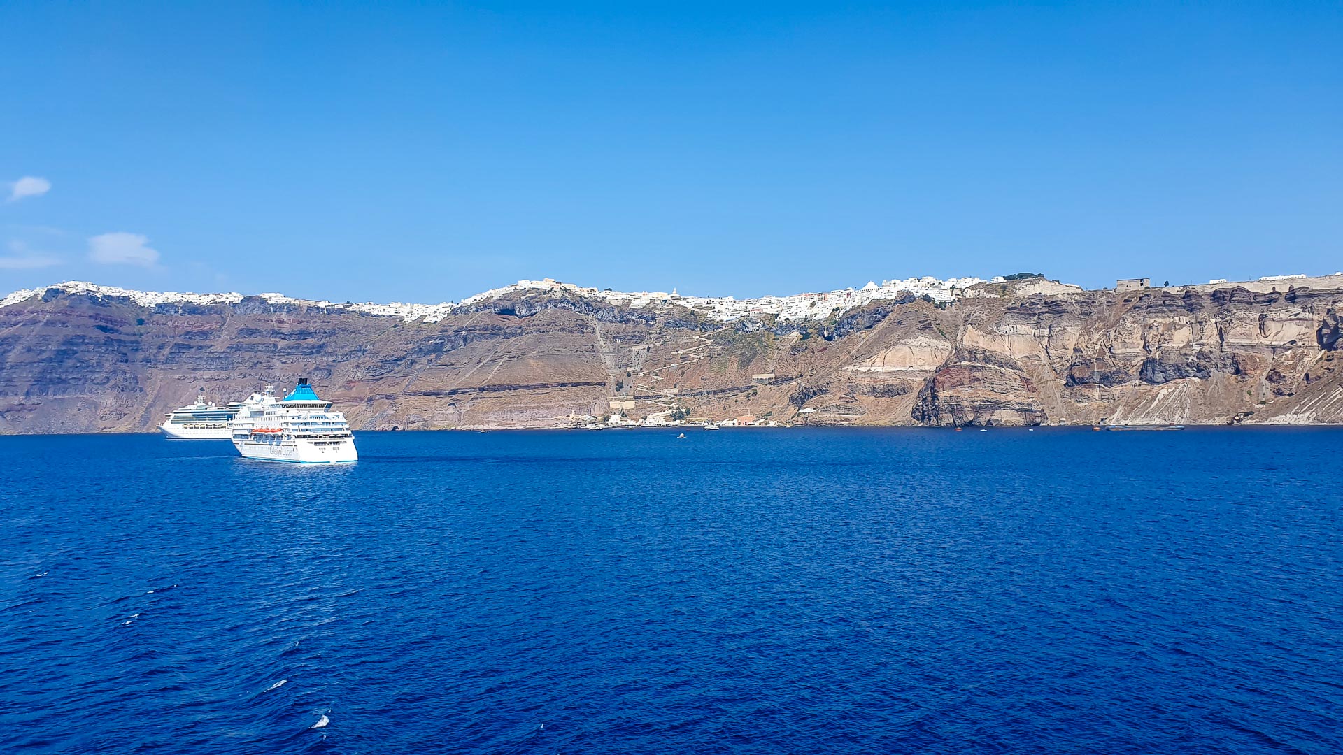
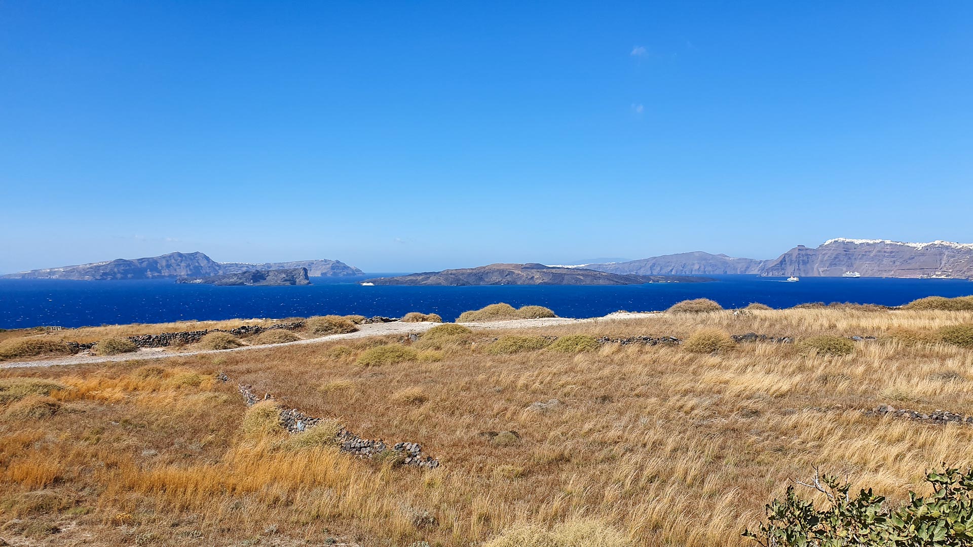
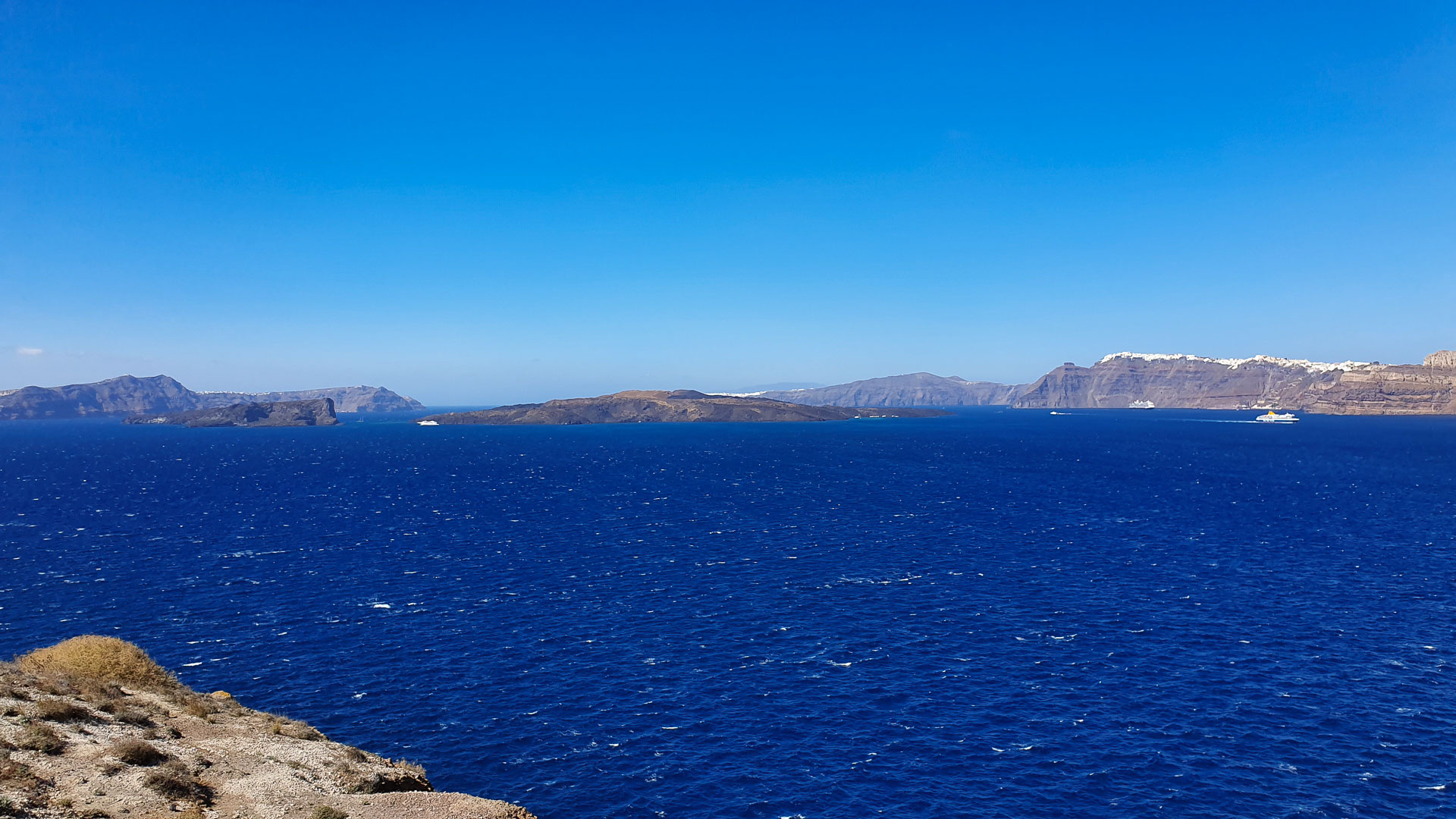
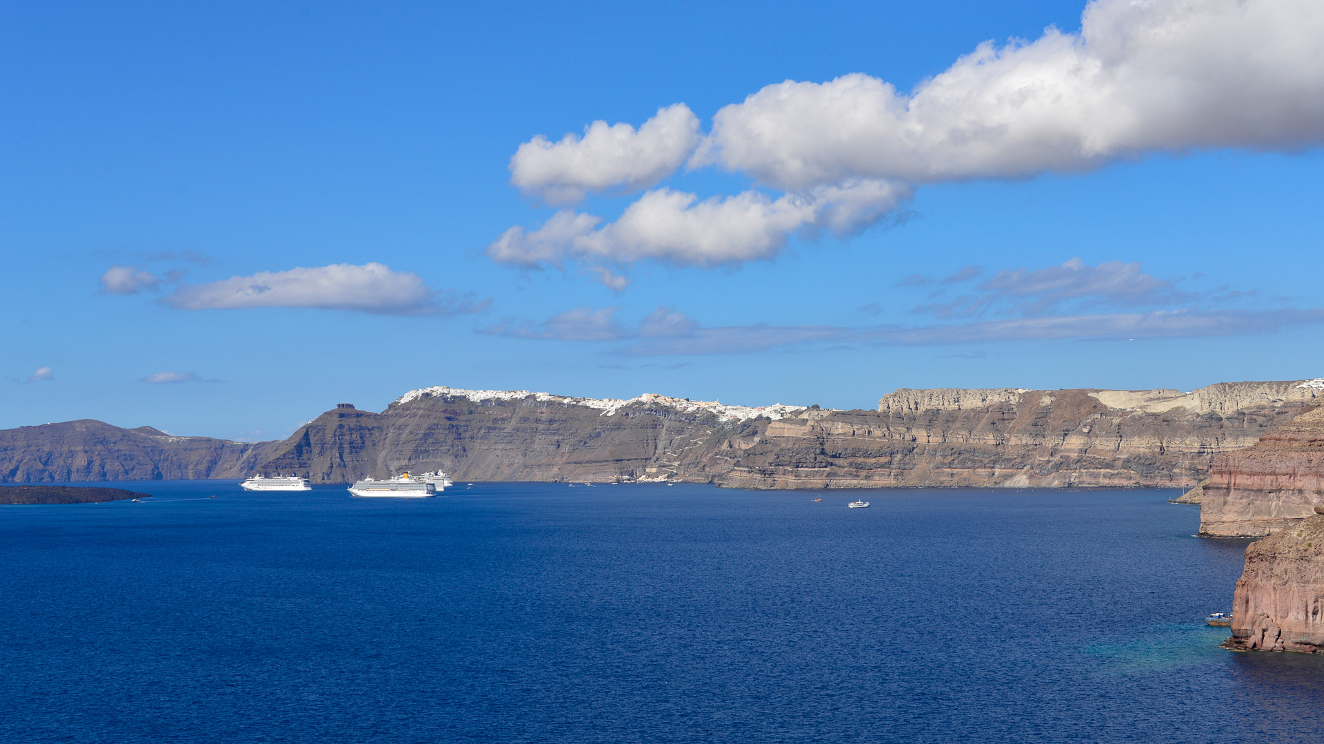
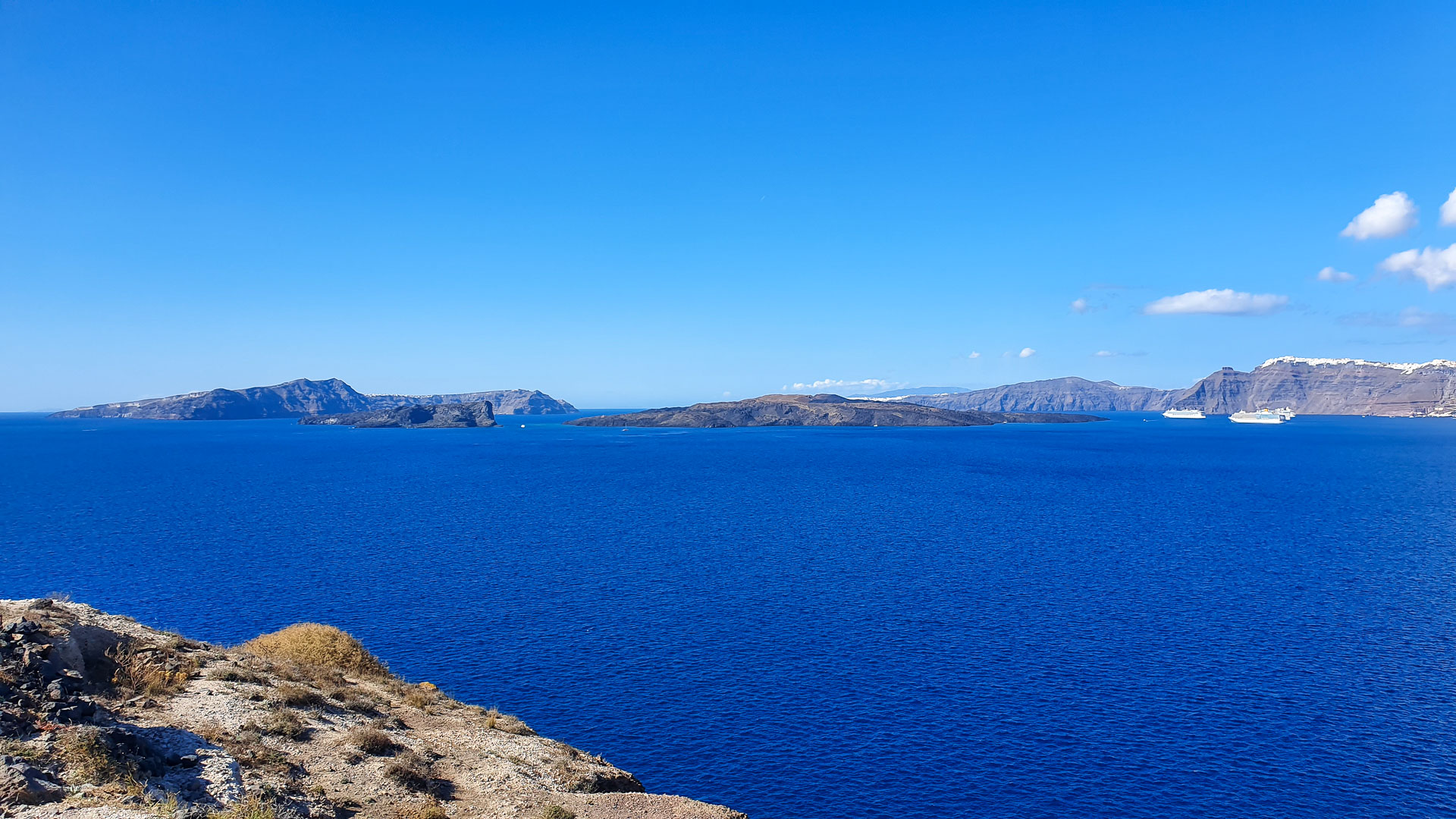
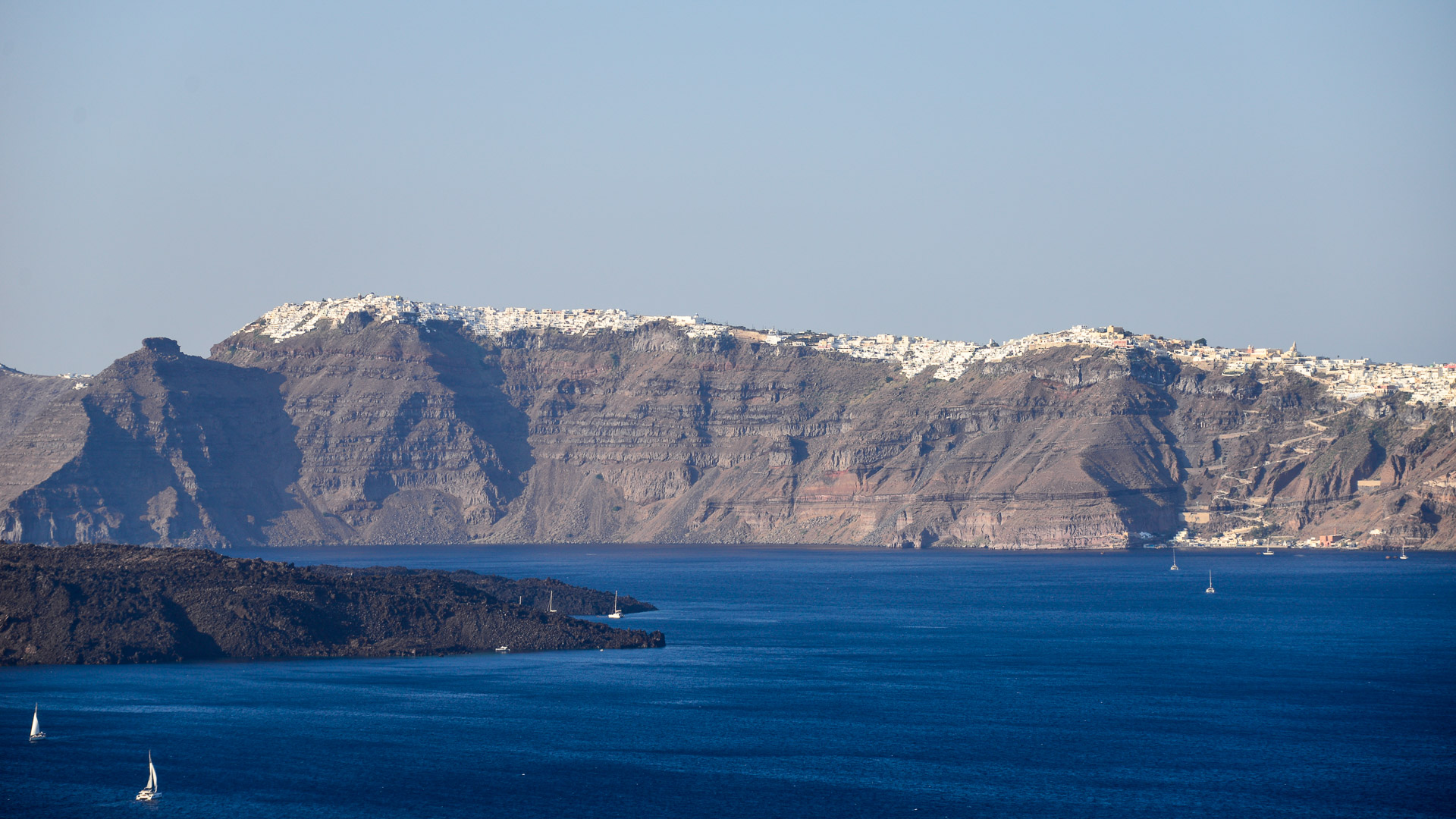
Currently, the caldera of Santorini is a sprawling 12 by 7 km (7.5 by 4.3 mi) basin with a depth of up to 400 m. The sides of the caldera are steep walls with height of up to 330 m above sea level. (the highest point of the caldera is in the town of Imerovigli).
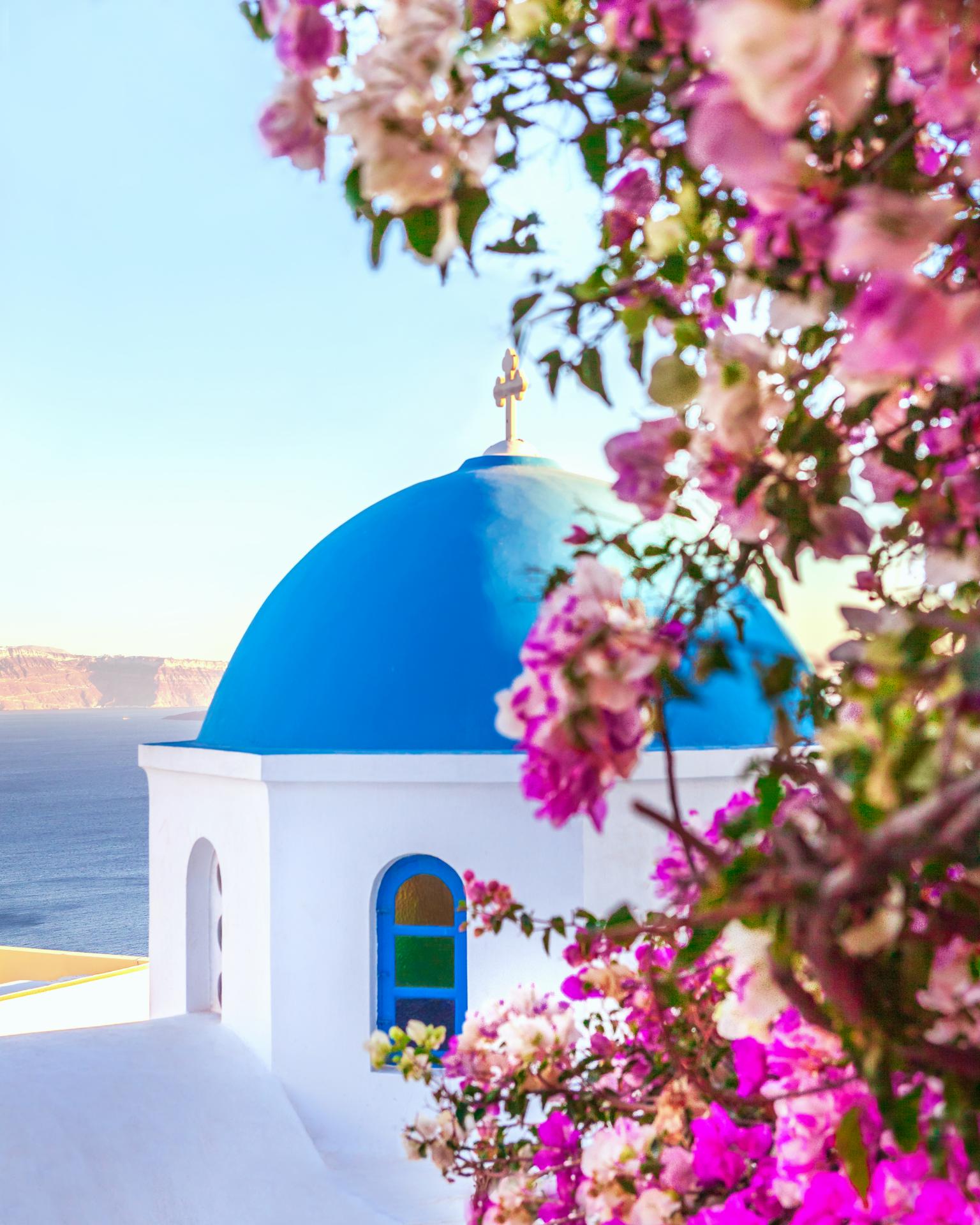
The caldera of Santorini can be admired from many places on the island, each of them looks almost equally delightful and photogenic. Below we present some of them (from north to south):
- Oia Castle
- Oia – promenade,
- Oia – parking area at the Water Treatment Plant,
- Fira-Oia trail (entire),
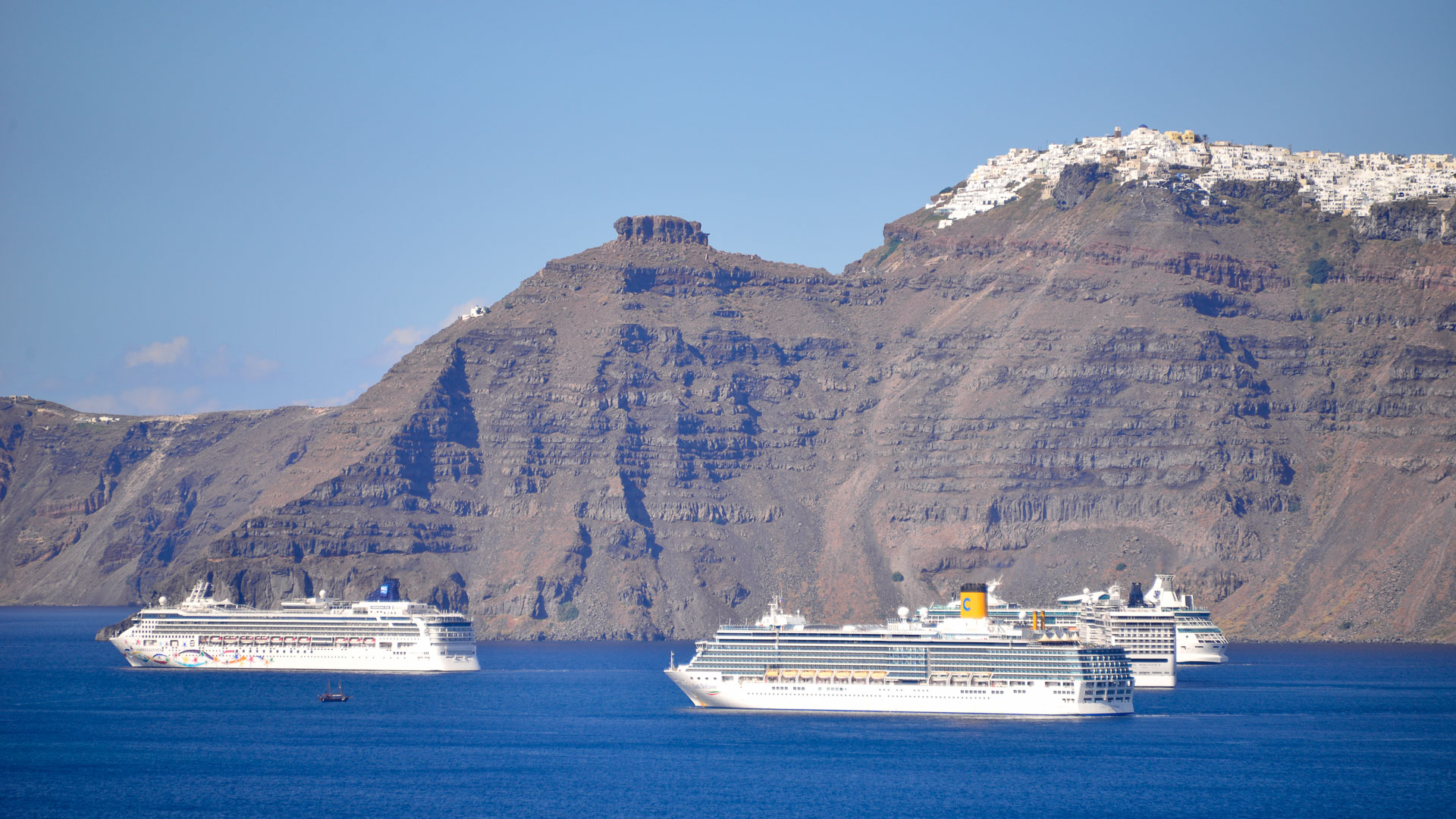
- Imerovigli and Skaros Rock,
- Fira – promenade,
- Park in Fira,
- Heart of Santorini Trail,
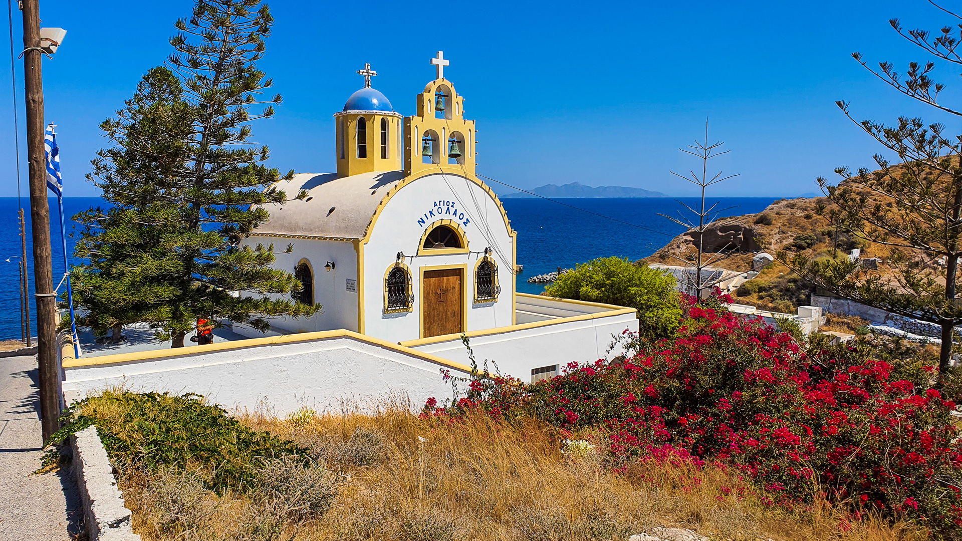
- Church of Taxiarchis,
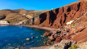
- Kokkinopetra volcano,
- Akrotiri Lighthouse.
It’s also worth taking a boat trip through the waters of the caldera to admire the view from the volcano Nea Kameni in the middle of the bay and the neighbouring, peaceful island of Therasia.